
Click on Homer
for an interactive
map to UM Shasta Camp

GPS Coordinates are
41.246247, -122.392555
You can copy and paste these coordinates
into most navigation app's search box.
------------------------
That will get you to the foot of
Shasta Camp's Driveway at Castle lake road

Click on Smokey for a scalable topographic map.

PS,
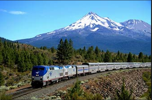
Amtrak's Dunsmuir station
is a half hour away from
UM Shasta Camp.
Click on the train for more information
Here are narrative directions to Shasta Methodist Camp
8339 Castle Lake Road
Mount Shasta 96067
Whether north bound or south bound on I-5, take exit #738 (aka Lake Street exit).
If north bound, turn left
If south bound, turn right
The first stop sign is ½ mile ahead.
This is Old Stage Road
Turn left (south) on Old Stage Road
¼ mile ahead, there is a “Y” intersection
Old Stage Road is to the left, WA Barr Road is to the right.
Bear right, take WA Barr Road
Castle Lake Road is 3.3 miles ahead. it is a very sharp left turn uphill.
Just before Castle Lake Road you will drive over the Box Canyon Dam which separates Lake Siskiyou from the Sacramento River.
200 yards up Castle Lake Road is another “Y” intersection.
Bear to the right and go uphill 5.2 miles and watch for the large wooden “Methodist Camp” sign on the right side of Castle Lake Road.
Turn right and proceed ¼ mile to the camp core.